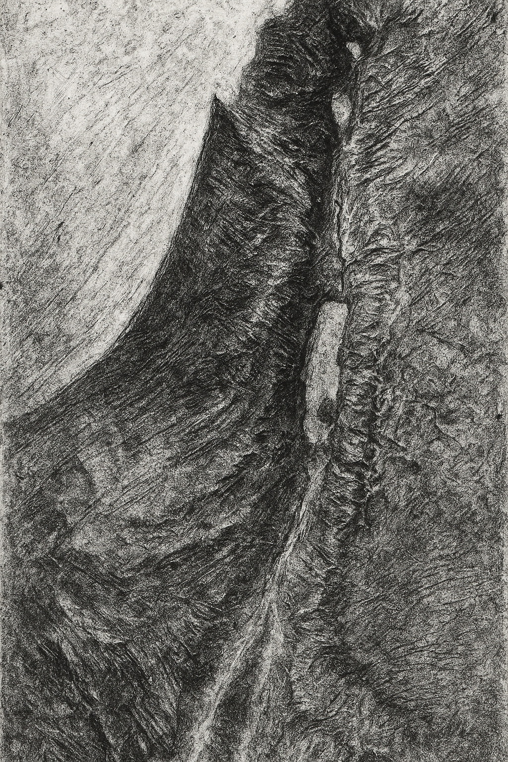
Last month’s release of GPT-4o’s image-generation capabilities led to a huge improvement in instruction-following capabilities—specifically, it can now make maps that (more or less) match real geography.
So, obviously, I tried it on Bible maps and made 180 AI-generated maps of the Holy Land in many different styles.
Some of my favorites:
Discussion
The results match what James Farrell found in his similar cartographic explorations: GPT-4o creates “generally accurate topography” but falls apart on the details. In these maps, for example, it really likes to connect the Dead Sea and the Red Sea with a nonexistent river. And it includes the Sea of Galilee only when it feels like it. The details of the topography itself—hills, valleys—are broadly correct but wrong in details.
It tends to do better at geographically accurate reproduction when it’s generating something close to what it likely saw in its training data. Sometimes modern features, like country borders, leak through into the generations.
This kind of “vibe cartography” is different from what JJ Santos describes when using a similar term, where you can use Claude to automate map creation inside QGIS. In that process, you should end up with geographically “correct” results, but you’d have to spend a lot of time to achieve the artistic effects in the more conceptual maps here.
Evan Applegate at the Very Expensive Maps podcast likes to say that “you should make your own maps.” I don’t know that he’d consider this process to be “making” a map so much as vibing it into existence. I can imagine a cartographer using an AI to explore a certain look and then polish and execute that look using a more-traditional cartographic workflow.
Methodology
I started by uploading to Sora the finest map of the Holy Land ever created, which is in the public domain, and using that image as a base. From there, I started with this prompt:
Turn this hand drawing of the natural vegetation and topography of the Middle East into something different while maintaining the physical features (especially note that everything south of the Dead Sea is desert; there’s no river), without labels, human features, or political borders:
And followed it up with the specific style, with wording suggested by ChatGPT. For example:
A pure, traditional Swiss-style shaded relief map of ancient Israel — delicate shading for terrain, clean coastline, classic colors, masterful light sourcing.
You can find all the prompts by hovering over (or long-pressing) the images on the AI Maps page.


